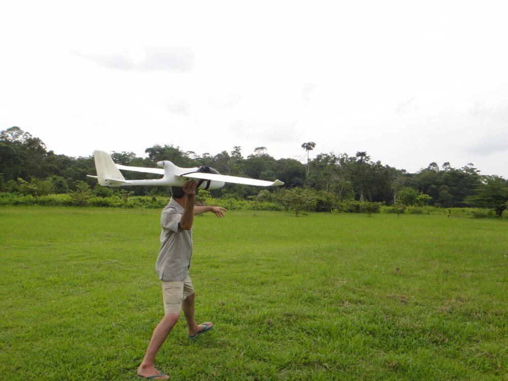
Orangutan conservation scientist Serge Wich launches a fixed wing Raptor drone at Aras Napal in Sumatra (Indonesia) for forest mapping and orangutan nest detection. Rather than counting actual animals, researchers estimate orangutan numbers by counting the nests that they build in trees to sleep in. Traditionally, teams would do this via walking surveys on the ground, using a number of variables to convert the raw data into population estimates. However, this method is costly and time-consuming. In recent years, ground nest counts have been supplemented by various other technologies, including aerial nest counts by drones. Drones can cover a large area of difficult terrain faster and more easily than human surveyors, but also produce images of sufficiently high resolution to enable researchers to differentiate between forests, plantations and other forms of land cover, and detect logging, fires, small roads and other anthropogenic activities. Data from drone surveys have become increasingly important in efforts to estimate orangutan population and to devise strategies for mitigating its decline.
